
ፋይል:Laos adm location map.svg

ናይ መጀመርታ ፋይል (ፋይል SVG፣ ብሽም 1,961 × 2,307 ፒክስላት፣ መጠን ፋይል፦ 477 ኪ.ባ.)
መጠቓለሊ
| መግለጺ |
Deutsch: Positionskarte von Laos
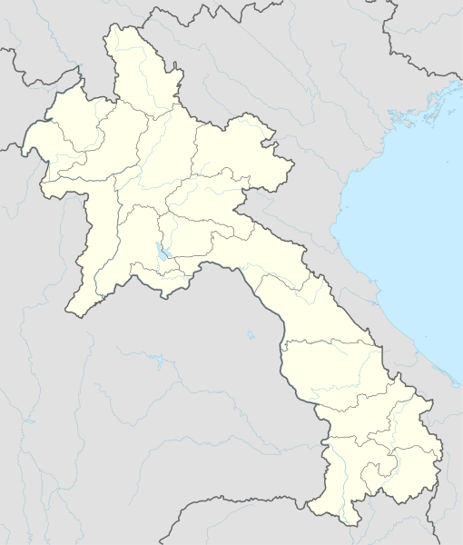
English: Location map of Laos
|
||||||||||||
| ዕለት | |||||||||||||
| ምንጪ |
Own work using:
|
||||||||||||
| ደራሲ | NordNordWest | ||||||||||||
| Other versions |
|
||||||||||||
_location_map.svg)

|
This map has been made or improved in the German Kartenwerkstatt (Map Lab). You can propose maps to improve as well.
|
ፍቓድ
Usage of this file with:

explanatory notes: Legally binding is only the full legalcode. For a free usage I recommend to respect the following licence conditions:
1. Provide my name as given above: NordNordWest,
2. a copy of, or the URI for, the applicable license: https://creativecommons.org/licenses/by-sa/3.0/de/legalcode,
3. the title of the work,
4. in the case of an adaptation, a credit identifying the use of the work in the adaptation.
This license and the rights granted hereunder will terminate automatically upon any breach by you of the terms of this license. Any of the above conditions can be waived if you get permission from the copyright holder. If you have questions or wish differing conditions, please contact me through nnwest or my discussion page ![]() t-online.de
t-online.de
- You are free:
- to share – to copy, distribute and transmit the work
- to remix – to adapt the work
- Under the following conditions:
- ኣፍልጦ – You must give appropriate credit, provide a link to the license, and indicate if changes were made. You may do so in any reasonable manner, but not in any way that suggests the licensor endorses you or your use.
- share alike – If you remix, transform, or build upon the material, you must distribute your contributions under the same or compatible license as the original.

ታሪኽ ፋይል
Click on a date/time to view the file as it appeared at that time.
| ዕለትን ሰዓትን | ድንኪ | ዓቐናት | ተጠቃሚ | ርእይቶ | |
|---|---|---|---|---|---|
| እዋናዊ | 16:38, 14 ለካቲት 2018 | | 1,961 × 2,307 (477 ኪ.ባ.) | NordNordWest | upd |
| 18:36, 1 ታሕሳስ 2014 |  | 1,961 × 2,307 (530 ኪ.ባ.) | NordNordWest | == {{int:filedesc}} == {{Information |Description= {{de|1=Positionskarte von Laos}} {{en|1=Location map of Laos}} {{Location map series N |stretching=105 |top=22.9 |bottom=13.6 |left=99.7 |right=108.0 }} |Source={{Own using}} * United States National I... |
ኣጠቓቕማ ፋይል
ነዚ ፋይል ዝጥቀሙ ገጻት የለዉን።
ዓለማዊ ኣጠቓቕማ ፋይል
The following other wikis use this file:
- ኣጠቓቕማ ኣብ af.wikipedia.org
- ኣጠቓቕማ ኣብ ast.wikipedia.org
- ኣጠቓቕማ ኣብ blk.wikipedia.org
- ኣጠቓቕማ ኣብ bn.wikipedia.org
- ኣጠቓቕማ ኣብ cdo.wikipedia.org
- ኣጠቓቕማ ኣብ de.wikipedia.org
- Luang Prabang
- Vientiane
- Savannakhet
- Pakse
- Attapeu
- Flughafen Vientiane
- Phonsavan
- Sam Neua
- Vieng Xai
- Vang Vieng
- Vorlage:Positionskarte Laos
- Thakhek
- Benutzer:Luisah/Muang Xay
- Phongsali
- Champasak (Stadt)
- Muang Xay
- Militärflugplatz Long Tieng
- Muang Sing
- Boten (Luang Namtha)
- Luang Namtha
- Pakxong
- Pakxan
- Liste der Flughäfen und Flugplätze in Laos
- Veun Kham
- Muang Khong
- Hat Xai Khun
- Nakasong
- Thakho
- Lao-Nippon-Brücke
- Set Tai
- Khinak
- Ban Houayxay
- Neues Nationalstadion von Laos
- Nationalstadion von Laos
- Savannakhet-Provinzialstadion
- Champasak-Stadion
- Muang Kham (Laos)
- Tham Kong Lo
View more global usage of this file.