
ፋይል:Map of Peninsular Malaysia with third-level administrative divisions.svg

Size of this PNG preview of this SVG file: 544 × 600 ፒክስላት. ካልኦት ንጹርነታት፦ 218 × 240 ፒክስላት | 435 × 480 ፒክስላት | 696 × 768 ፒክስላት | 928 × 1,024 ፒክስላት | 1,857 × 2,048 ፒክስላት | 739 × 815 ፒክስላት።
ናይ መጀመርታ ፋይል (ፋይል SVG፣ ብሽም 739 × 815 ፒክስላት፣ መጠን ፋይል፦ 9.24 መ.ባ.)
መጠቓለሊ
| መግለጺ |
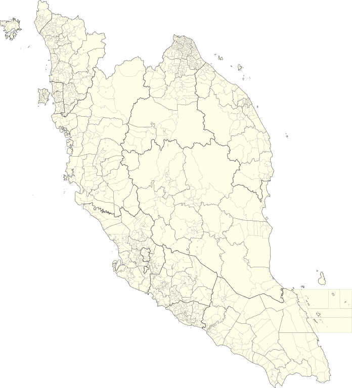
English: Map of Peninsular Malaysia with third-level administrative divisions (Mukim/Bandar/Pekan) |
| ዕለት | |
| ምንጪ | [1] via Unique Parcel Identifier (UPI) |
| ደራሲ | Unique Parcel Identifier (UPI) |
ፍቓድ
This file is licensed under the Creative Commons Attribution-Share Alike 4.0 International license.
- You are free:
- to share – to copy, distribute and transmit the work
- to remix – to adapt the work
- Under the following conditions:
- ኣፍልጦ – You must give appropriate credit, provide a link to the license, and indicate if changes were made. You may do so in any reasonable manner, but not in any way that suggests the licensor endorses you or your use.
- share alike – If you remix, transform, or build upon the material, you must distribute your contributions under the same or compatible license as the original.
ታሪኽ ፋይል
Click on a date/time to view the file as it appeared at that time.
| ዕለትን ሰዓትን | ድንኪ | ዓቐናት | ተጠቃሚ | ርእይቶ | |
|---|---|---|---|---|---|
| እዋናዊ | 05:26, 10 ሓምለ 2021 | | 739 × 815 (9.24 መ.ባ.) | Zh9567 | Uploaded a work by [https://mygos.mygeoportal.gov.my/upi/ Unique Parcel Identifier (UPI)] from [https://github.com/justinelliotmeyers/Malaysia_Official_Boundaries_2021] via [https://mygos.mygeoportal.gov.my/upi/ Unique Parcel Identifier (UPI)] with UploadWizard |
ኣጠቓቕማ ፋይል
ነዚ ፋይል ዝጥቀሙ ገጻት የለዉን።
ዓለማዊ ኣጠቓቕማ ፋይል
The following other wikis use this file:
- ኣጠቓቕማ ኣብ en.wikipedia.org
- ኣጠቓቕማ ኣብ id.wikipedia.org
- ኣጠቓቕማ ኣብ ms.wikipedia.org
- ኣጠቓቕማ ኣብ zh.wikipedia.org