
ፋይል:Eritrea physical map.svg

Size of this PNG preview of this SVG file: 730 × 600 ፒክስላት. ካልኦት ንጹርነታት፦ 292 × 240 ፒክስላት | 584 × 480 ፒክስላት | 935 × 768 ፒክስላት | 1,247 × 1,024 ፒክስላት | 2,493 × 2,048 ፒክስላት | 851 × 699 ፒክስላት።
ናይ መጀመርታ ፋይል (ፋይል SVG፣ ብሽም 851 × 699 ፒክስላት፣ መጠን ፋይል፦ 1.27 መ.ባ.)
መጠቓለሊ
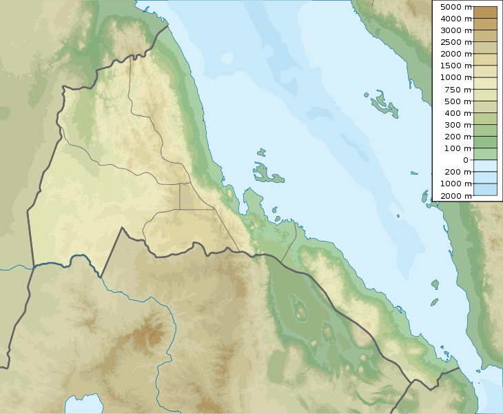
| መግለጺ | Eritrea physical map, parameters equal to File:Eritrea location map.svg |
| ዕለት | |
| ምንጪ | ናይ ባዕሉ ስራሕ |
| ደራሲ | Urutseg |
ፍቓድ
I, the copyright holder of this work, hereby publish it under the following license:
| This file is made available under the Creative Commons CC0 1.0 Universal Public Domain Dedication. | |
| The person who associated a work with this deed has dedicated the work to the public domain by waiving all of their rights to the work worldwide under copyright law, including all related and neighboring rights, to the extent allowed by law. You can copy, modify, distribute and perform the work, even for commercial purposes, all without asking permission.
|
ታሪኽ ፋይል
Click on a date/time to view the file as it appeared at that time.
| ዕለትን ሰዓትን | ድንኪ | ዓቐናት | ተጠቃሚ | ርእይቶ | |
|---|---|---|---|---|---|
| እዋናዊ | 05:52, 16 መጋቢት 2011 | | 851 × 699 (1.27 መ.ባ.) | Urutseg |
ኣጠቓቕማ ፋይል
እዛ ትስዕብ ገጽ ነዚ ፋይል እዚ ትጥቀመሉ፦
ዓለማዊ ኣጠቓቕማ ፋይል
The following other wikis use this file:
- ኣጠቓቕማ ኣብ als.wikipedia.org
- ኣጠቓቕማ ኣብ ast.wikipedia.org
- ኣጠቓቕማ ኣብ azb.wikipedia.org
- ኣጠቓቕማ ኣብ az.wikipedia.org
- ኣጠቓቕማ ኣብ be.wikipedia.org
- ኣጠቓቕማ ኣብ bg.wikipedia.org
- ኣጠቓቕማ ኣብ bn.wikipedia.org
- ኣጠቓቕማ ኣብ bs.wikipedia.org
- ኣጠቓቕማ ኣብ ceb.wikipedia.org
- ኣጠቓቕማ ኣብ ce.wikipedia.org
- ኣጠቓቕማ ኣብ ckb.wikipedia.org
- ኣጠቓቕማ ኣብ cs.wikipedia.org
- ኣጠቓቕማ ኣብ da.wikipedia.org
- ኣጠቓቕማ ኣብ de.wikipedia.org
- Eritrea
- Dahlak-Archipel
- Vorlage:Positionskarte Eritrea
- Soira
- Wikipedia:Kartenwerkstatt/Positionskarten/Afrika
- Alid
- Assab-Vulkanfeld
- Dahlak Kebir
- Dega (Berg)
- Dubbi (Vulkan)
- Nabro
- Nora (Insel)
- Abaededsee
- Jalua
- Harmil
- Dehil
- Nahaleg
- Nakura
- Dahlak-Marine-Nationalpark
- Mandalum-See
- Semenawi Bahri National Park
- Nakfa Wildlife Reserve
- Seil Norah
View more global usage of this file.